
Mapping and Analysis
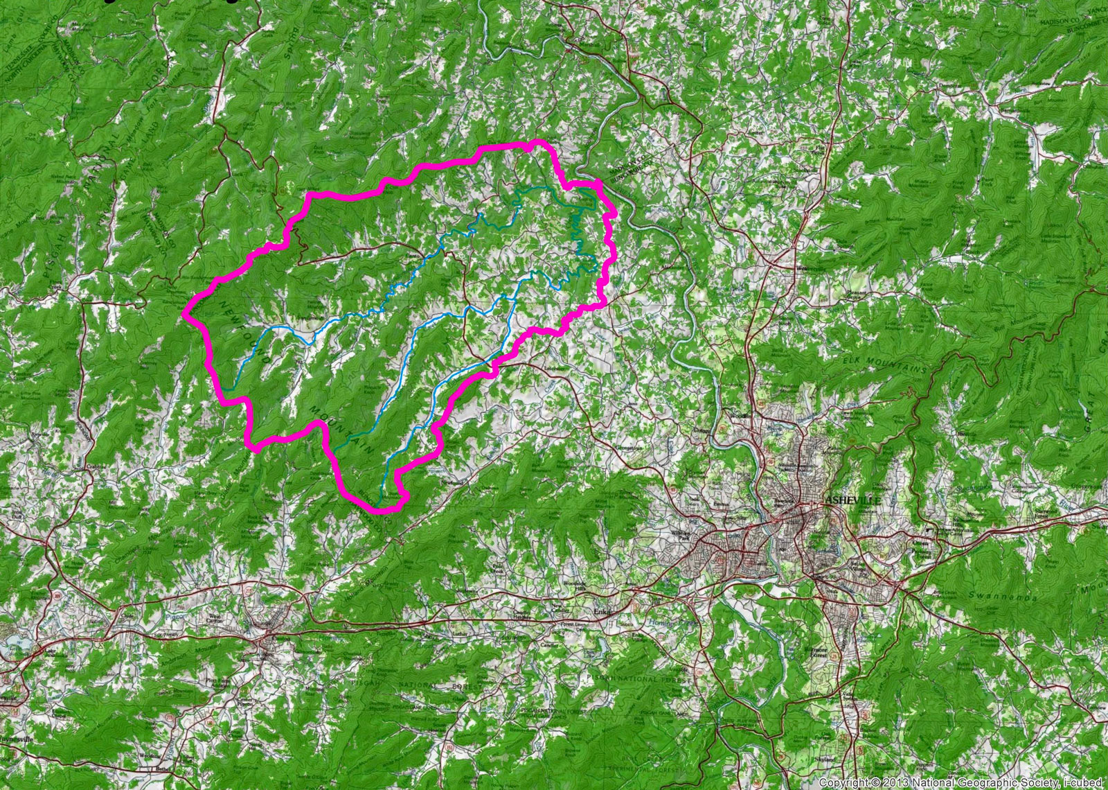
Mapping allows us to begin assessing your forest and better understand current and common conditions found in our region. EcoForesters is equipped with a powerful suite of mapping software as well as expertise in geospatial analysis. Most of our services include high quality maps, and many also include some type of in-depth analysis. We use the latest airborne and satellite data available to support our management considerations.
High Quality GIS Mapping
Many of these services come with maps created in a GIS as part of the package. Some landowners are very interested in maps of their property and may desire additional maps of their trails, favorite wildlife areas, or even a map of their entire neighborhood.
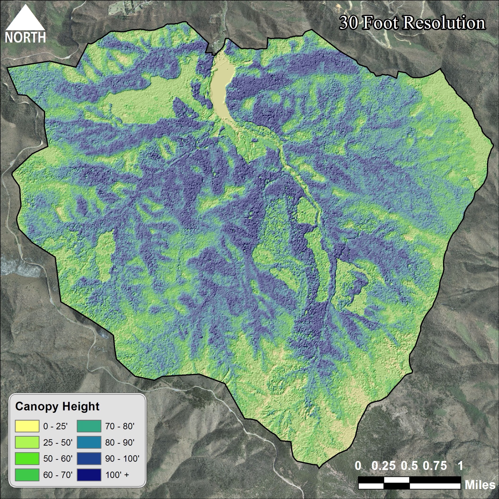
Forest Structure Modeling
The implementation of new remote sensing technologies such as high-resolution multi-band imagery and LiDAR (light detecting and ranging)on a broad scale across the nation has many implications for land stewardship. Models can be designed to estimate tree heights, location of canopy gaps, density of understory, presence of rock outcrops, and even to detect old forest roads.
All of this can be done before ever visiting the property. Using this information assists in stewardship by yielding a general idea of the property’s conditions: increasing efficiency in the field and serving as a base of information to build from.